The map menu options
Tap  to open the Map menu:
The following options are available:
| Button | Description |
|---|---|

|
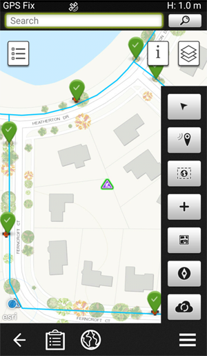
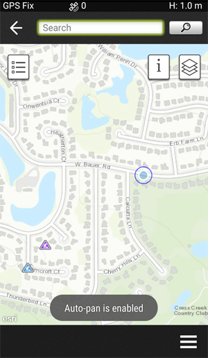
Tap this button to toggle auto map panning on and off. A brief message appears to show you what mode you are in. Autopanning is useful when you are moving to a new location. The map will move as you go to the new location. |

|
Zooms the map to your current GPS location. |

|
This button zooms the map out to max extent–with the map still centered on the work order. |

|
This menu button allows you to create a new work order by locating it on the map either using GPS or placing it by clicking on the map. |
|
|
Selecting this option triggers Map Navigation to find a route between your current location (as determined by GPS) and the location of the work order or asset. |
|
|
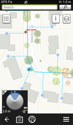
Selecting this button turns on the compass, which appears on the bottom left corner of the map. This tool helps guide the field crew to the precise location of the asset they are trying to find. It’s useful for locating assets that have been hidden from immediate view, for example, a valve cover that has been asphalted over.
The green dot on the compass shows where how far away you are from the selected asset. Rotate the device so that the green dot is within the blue wedge and move until the compass shows you are at the asset. |

|
This button forces the system to sync any changes to the Trimble Unity system in the 'cloud'. You will see a list of 'synchronizations' created as each object is 'synced'. |
 This button shows your GPS location on the map.